

Malibu Creek to the M*A*S*H site
Make the old M*A*S*H filming area your reason to pause, with the creek landscape as part of the day.
Open the route mapLandmark
The mapped approach to the outdoor filming-site landmark, at the ride turnaround.
Crags Road, Malibu Creek State Park, CA
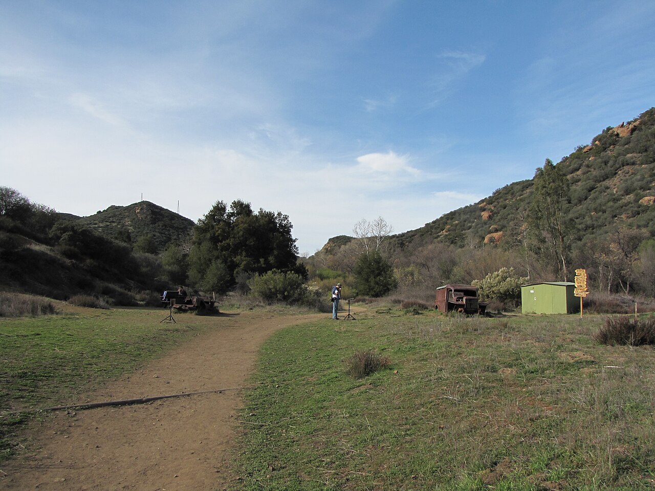
The former filming area in January 2010, with the old vehicle props and signpost. A destination overview for a pause off the through route; it does not show the seasonal creek crossing.
GPX ends at the approach/guidepost. Attraction lies roughly15m south; any final walk is separate. Obey current park signs and bridge closures.
Approximately 10 m from the nearest mapped track point in a straight line. This is not an approach route or travel distance.
Checked 2026-09-27. No live hours, stock, repair availability or current access guarantee. Check the operator or land manager before setting off.
Put this stop into a day out
Make the old M*A*S*H filming area your reason to pause, with the creek landscape as part of the day.
Open the route mapThis is a researched planning guide, not a report of a visit. Business schedules and access can change.