Santa Monica to Venice
The classic beach ride. People, palms & the Pacific.
Explore the rideNorth from the pier / Santa Monica coast
Coastal air & a longer pause.
Real places, archival photography. Photographers, dates & licenses
The ride
A shorter out-and-back for a relaxed beach morning. Begin by the pier, follow the northern beach path, and make the Annenberg Community Beach House your reason to stop. The riding portion is modest; the extra time is for the destination, a drink of water and the return at your own pace.
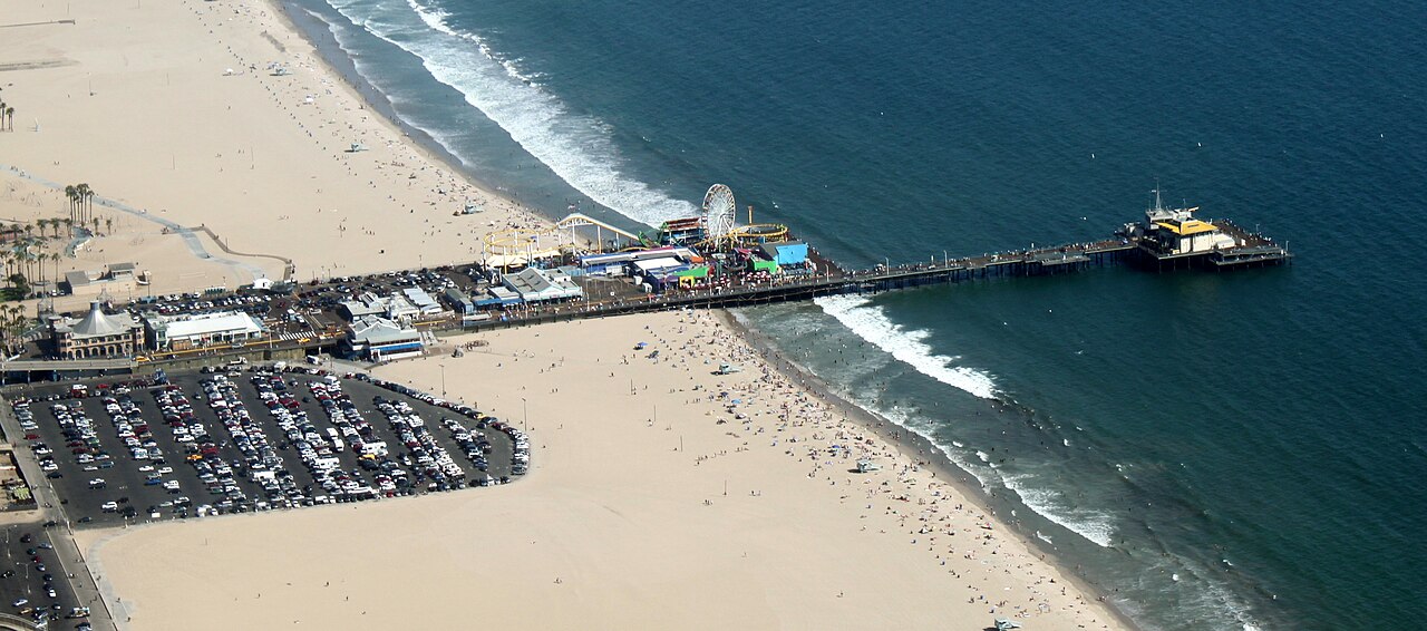
Start at beach level on the south side of the Santa Monica Pier underpass. The mapped track passes beneath the pier and follows the coastal bikeway north. This avoids routing up to the bluff-top street network, but access from a downtown hotel or rental location is not included in the GPX.
The turnaround stays on the bikeway near the Beach House. The building pin is a separate point of interest, roughly 90 meters away in a straight line from the selected track point. That is not a surveyed walking distance: leave the bicycle at an appropriate rack and use the signed access to reach the grounds.
The city lists restrooms, bike racks, a playground and a splash pad at the Beach House. The historic pool and guest house are distinct attractions with their own schedules. A cycling trip to the grounds does not include a pool reservation or guarantee that every facility is open.
Know where you are going
Loading the coastal map...
Planned beach route Places to pauseReport a map issue
Terrain at a glance
The dashed line marks the turnaround. USGS NED ground-elevation samples via OpenTopoData, approximately 10 m resolution. This is not a surveyed path profile: underpasses and small ramps may be missed. No climbing-gain claim is made.
Make time for the stops
Start on the beach-level bikeway, not the pier deck.
Place on Google MapsWalk the final approach from the beach path. Facility hours vary.
Place pin is about 90 m from the track in a straight line, not a measured walking route. Use signed access.
Place on Google MapsTurn on the bikeway at the Beach House access; the last approach to the grounds is on foot. The downloaded track includes the return to the start.
The useful details
Beach-level Santa Monica Pier underpass, south mouth. The GPX includes the return.
The Beach House has a paid, first-come parking lot at 415 Pacific Coast Highway. Check the city page for current rates and hours. Parking availability is not monitored here.
Shorter distance does not mean traffic-free play space. Choose this only when every rider can brake, follow directions and handle other path users.
Use the separate official facility-hours link before making the pool or guest house the centerpiece of your visit.
The city lists restrooms and bicycle racks on the Beach House grounds. Bring water regardless of facility opening hours. Use signed access rather than crossing the beach or parking lot along the straight line to a map pin.
Compare nearby bike rentalsTake the route with you
Pier to Annenberg Beach House / 3.1 mi / out & back
GPX 1.1 with 191 track points and named places.
Planned geometry, without fabricated ride times or elevation readings.
A few things worth knowing
No. It is a planned track assembled from connected OpenStreetMap cycleway segments. It contains the outward and return legs, plus named points of interest. We have not field-ridden it or checked same-day closures.
The measured map geometry from the selected start to the turnaround and back. Rental-shop approaches, walks to buildings and optional detours are excluded. GPS devices may calculate a slightly different distance.
Check the exact bicycle class, posted signs and the rules for each jurisdiction. These guides are written for ordinary pedal bicycles. Do not assume that every vehicle sold as an e-bike is permitted; the current Santa Monica police guidance is linked below.
No. These files cover only the described Santa Monica and Venice sections. They do not include the inland connection around Marina del Rey or the rest of the South Bay.
Water, sun protection, a helmet, a lock, a charged phone and the downloaded track. Check brakes and tire pressure. Allow extra time for collecting and returning a rental.
Another way to spend the day
The classic beach ride. People, palms & the Pacific.
Explore the rideOne coast, three landmarks. A full beach morning.
Explore the ride