
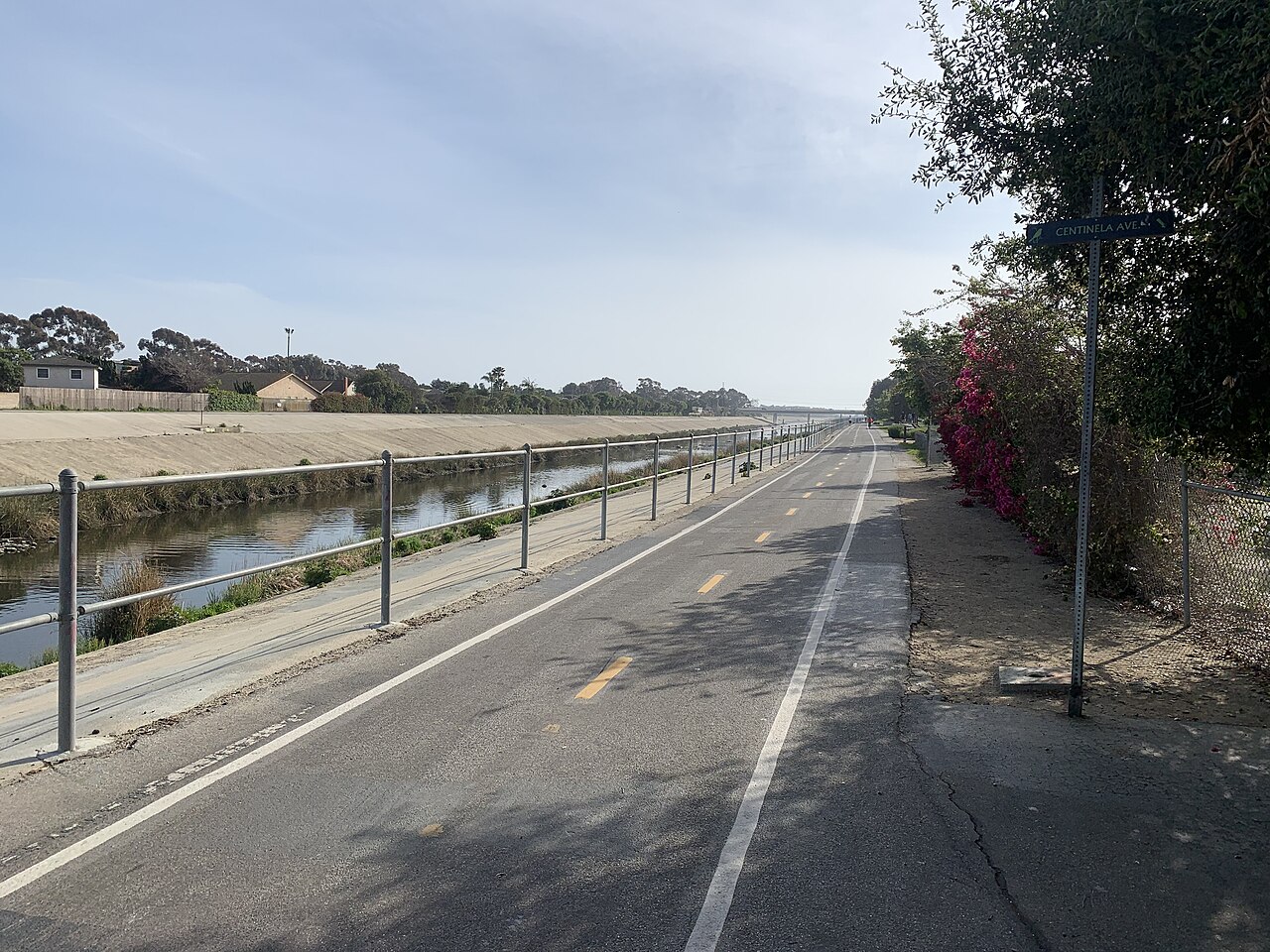
Ballona Creek to the coast
Culver City / Marina del Rey / Steady / paved
From the city channel to sea air. A river corridor, not a beach promenade.
Explore the rideOne clockwise lap / Pasadena
A compact Pasadena workout.
All 2 photographs Real places, archival photography. Photographers, dates & licenses
Know the shape of your day
Ground elevation is the lowest-to-highest sampled terrain, not total climbing gain. Access, surface and traffic are not live-verified.
The ride
A useful choice for a short, repeatable ride when you are comfortable cycling on roads. This clockwise loop goes north on West Drive, crosses West Washington Boulevard and returns down Rosemont Avenue and Seco Street. One lap is enough for a brief outing; extra laps are optional and are not included in the downloaded distance.
The start is on West Drive by its southern Seco Street connection. It is a route waypoint, not a parking reservation or a protected gathering area. Arrange your bicycle and belongings off the road, join only when appropriate, and follow the clockwise track. There are moving cars, driveways and junctions; do not treat the circuit like a velodrome.
West Washington Boulevard forms the northern crossing of the loop around the Brookside grounds. Stay on the mapped public-road circuit rather than taking golf-course paths or the pedestrian recreation loop. The southern road connections include one-way geometry, which is why simply drawing an oval around the stadium is not a sufficient GPX.
The stadium calendar matters as much as distance. Event traffic, parking operations and temporary access changes can make a normal lap a poor choice on another day. The photographs show the stadium setting and event parking, not current road conditions. Skip the outing or choose a different guide if an event or closure conflicts with your plan.
Know where you are going
Loading the route map...
Planned route Landmarks Coffee & restReport a map issue
Terrain at a glance
One complete loop. The vertical scale varies by route: compare the numbers, not just the shape. USGS NED ground model via OpenTopoData, about 10 m resolution; not a surveyed riding surface or a climbing-gain measurement.
Make time for the stops
Join West Drive northbound when safe; do not gather in the road.
Waypoint on Google MapsFollow the road east across the northern end of the loop.
Waypoint on Google MapsUse the mapped one-way road connections to return west to the start.
Waypoint on Google MapsComplete the clockwise road circuit using the mapped Seco Street connection, then finish off the traffic lane. The downloaded track includes the return to the start.
Food & a place to pause
No cafe access is verified on this road circuit. Take your drink before joining the loop or after leaving the road at a legal stopping area.
Bring water for the lap. Stadium toilets and concessions should not be assumed available outside an event. Choose a cafe before or after riding unless you have checked its exact access and opening.
No cafe pin is shown because an exact suitable stop has not been verified. This is a supply-planning limitation, not a claim that no cafes exist nearby.
Places, surfaces & useful landmarks
Archival photographs, not current conditions. Viewpoints and off-track stops are identified below; they do not prove today's access.
Brookside grounds used for game-day parking in 2015. This is why the event calendar matters; the grass is not a cycling shortcut.
Ken Lund from Reno, Nevada, USA , 2015. CC BY-SA 2.0 .
The stadium is a landmark inside the much larger road circuit. This overhead image does not show the full loop; use the route map for navigation.
NASA , 2008. Public domain .
The useful details
West Drive at the southern Seco Street connection. Reach it independently from legal parking or your accommodation.
For cyclists who can handle road junctions and cars. A short distance alone does not make this a beginner or young-child recommendation.
Use the stadium calendar and local signs before leaving. No closed-road training session is assumed.
The GPX is exactly one clockwise lap. Each extra lap adds the same distance; do not race through pedestrians or traffic.
Bring water for the lap. Stadium toilets and concessions should not be assumed available outside an event. Choose a cafe before or after riding unless you have checked its exact access and opening.
Bring a suitable bike. Our Santa Monica rental comparison does not cover this inland start.
Take the route with you
Rose Bowl road loop / 3.1 mi / one loop
GPX 1.1 with 122 track points and named places.
Planned geometry, without fabricated ride times or elevation readings.
A few things worth knowing
No. It is a planned track assembled from connected OpenStreetMap roads and bicycle-permitted paths. Each file is a full loop or an out-and-back, with named waypoints. We have not field-ridden it or checked same-day closures.
The measured map geometry for one complete described outing, returning to the selected start. Rental-shop approaches, walking detours and extra laps are excluded. GPS devices may calculate a slightly different distance.
These guides are for ordinary pedal bicycles. Check the exact bicycle class, local jurisdiction, park rules and posted signs; permissions differ by location and trail. An e-bike rental offer is not proof that a route allows it.
No. Check the official access links on the guide before leaving. A closure, flood warning or posted restriction overrides the download; never bypass a barrier to follow a track.
Water, sun protection, a helmet, a lock, a charged phone and the downloaded track. Check brakes and tire pressure. Allow extra time for collecting and returning a rental.
Another way to spend the day
Culver City / Marina del Rey / Steady / paved
From the city channel to sea air. A river corridor, not a beach promenade.
Explore the rideFrogtown / Griffith Park edge / Steady / longer
The greener face of the LA River. River views, bridges & a bicycle cafe.
Explore the rideGriffith Park / Demanding / hills
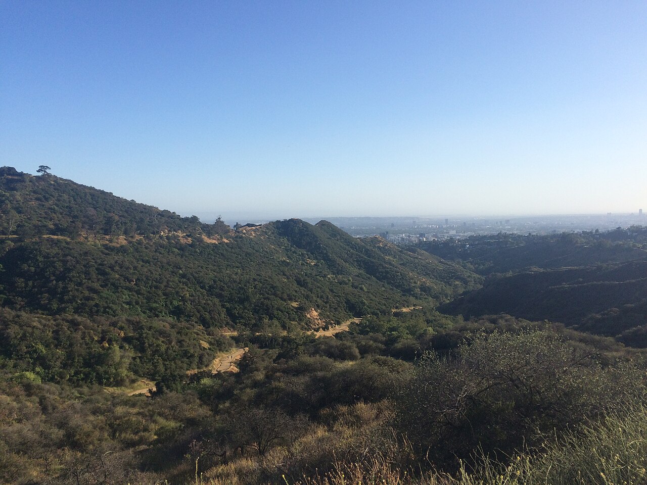
Earn the view above the city. Paved climbing & wide city views.
Explore the ride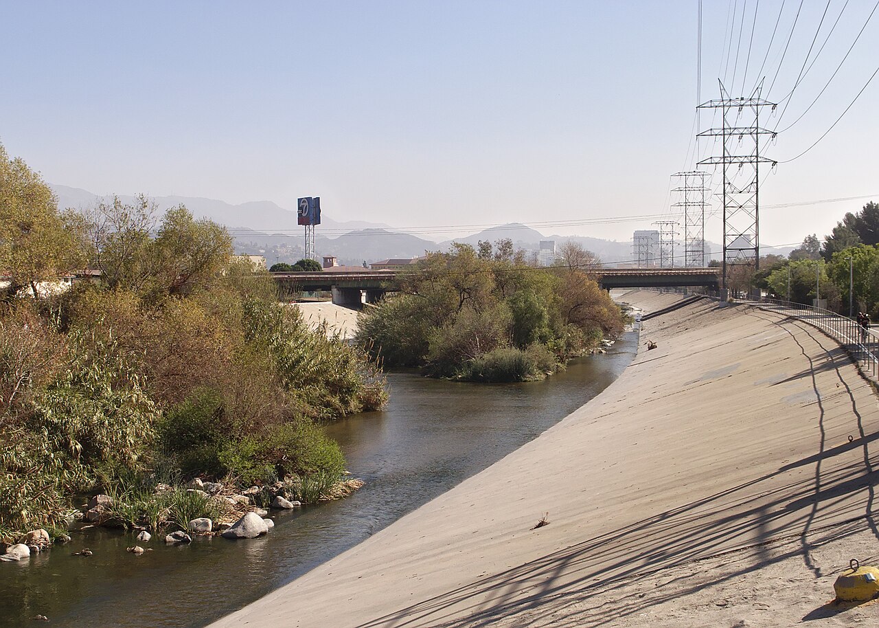
.jpg)
